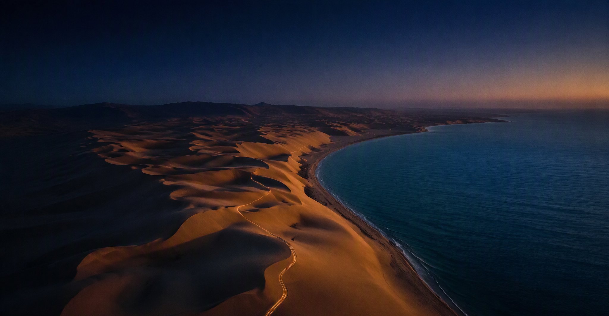
Desert dunes meeting the sea at dusk
Land & Sea Navigationملاحة برّية وبحرية

Your guide on land & sea —
no signal, no way lost

Download your region's map before you set off. Athr tracks your route by satellite and keeps it even after the signal drops, guiding you back to your starting point step by step.

Position · الموقع 24°28′N 54°22′E
Heading · الاتجاه 312°
Speed · السرعة 48 km/h
Elevation · الارتفاع 12 m
Signal · الإشارة OFFLINE ✓

The best roads are the ones with no coverage. In the heart of the sand or out at sea, the signal drops — but the journey goes on.

Navigation, Qibla and prayer times all run on your device with no connection. Voice chat, groups and the smart assistant need a network. You learn that here — not in the middle of the desert.

Capabilitiesما يقدّمه أثر

Six capabilities, one trail

Map, tracking and communication in a single app — it writes the trail of your journey so you can retrace it or share it.

01Offline

Satellite maps that work offline

Download your region at z17 detail while you're home, then switch data off completely. Map, position and speed keep working.

  • Ready-to-go regions at high detail z17
  • Live tracking of position, speed and heading
  • Trip recording with GPX export
  • Ready markers: camp, water, hazard
02Needs network

Voice chat with your group

Press the talk button and your voice reaches everyone in the group, even with the app in the background. No separate app needed.

  • A large talk button, usable one-handed
  • Automatic playback of incoming messages
  • Voices queued in turn, no overlap
  • Alerts reach you with the app locked
03Needs network

Groups and live locations

Create the trip group, share your location, and see where everyone has reached on the same map.

  • Groups and one-to-one chats
  • Member locations update in real time
  • A unique friend code for every user
  • Share markers and recorded tracks
04Needs network

An assistant that acts, not just explains

Tell it by voice or text and it executes the command inside the app, showing you the result before the final confirmation.

  • "Make it my destination" — it draws the route
  • "Send to Mohammed" — only after you confirm
  • Search for places near you
  • Optional voice replies in Arabic
05Offline

Qibla, prayer times & an SOS button

All computed on your device directly from your location. No connection needed — they don't stop when the network does.

  • Accurate Qibla compass from your coordinates
  • Countdown to the next prayer and sunrise
  • Emergency numbers for the country you're in
  • SOS sends your coordinates once a network is back
06Offline

Fully Arabic, not a flipped translation

The interface is built right-to-left from the ground up; numbers, directions and maps all follow the same logic. One tap and it becomes English.

  • Instant switching between Arabic and English
  • Your account and tracks follow you to any device
  • Account recovery by email
  • iOS and Android with the same features
Why Athrلماذا أثر

When coverage ends,
Athr begins

Athr brings map, communication and tracking together in one app, writing the trail of your journey so you can retrace it or share it — from the heart of the sand to the open sea.

System statusREADY
Network needed for navigation0
Offline map detailz17
Track exportGPX
PlatformsiOS · Android
LanguagesAR · EN
A night camp under the Milky Way in the desert
24°28′N 54°22′EThe Empty Quarter · after signal loss
24°28′N — 54°22′E
Start Hereابدأ من هنا

Download your map
before you set off

Install Athr, choose your region, and download it on Wi-Fi. After that, the desert is yours.

uae-athr.com · Free · No ads iPhone: requires iOS 16.4 or later · Android: open the file after download and allow installation